

Aligned to the skyline
North, found for you
reads the compass and, when the skyline is in view, matches it to the terrain so every label sits on its place. Still off? Tap Align and turn the phone until it fits.
Point your phone at the landscape. labels the villages, peaks, valleys, passes, lakes and huts you can see — the ones you choose, from OpenStreetMap, up to 50 km away.
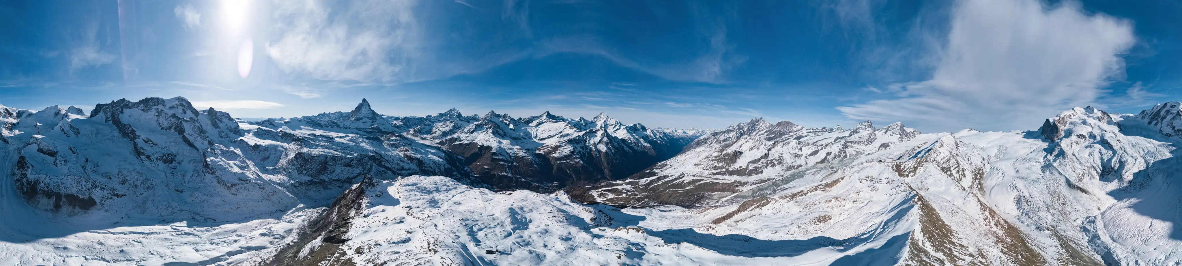
Looking north-west from Gornergrat, above Zermatt — heights and distances as shows them.
Open and hold your phone up to the view. It finds north by itself — nothing to set up.
A label lands on every place in sight — peaks with their heights, towns, lakes, huts — each with how far it is. Places hidden behind a ridge are left out.
Tap a label for photos and facts, open Wikipedia, or Navigate to walk there with your maps app.
Towns and villages, valleys and passes, lakes, viewpoints and huts — turn each kind on or off in Menu → Labels → Categories, and set how far labels reach, from 1 to 50 km.
Only what you can actually see gets a label, and labels never overlap: the more important place keeps its label. Pinch to zoom and more appear.
Taken outdoors, on a real iPhone.
reads the compass and, when the skyline is in view, matches it to the terrain so every label sits on its place. Still off? Tap Align and turn the phone until it fits.
Download an area before you go — pick a place and a radius, and its places and terrain stay on your phone. also keeps the areas around you for a while.
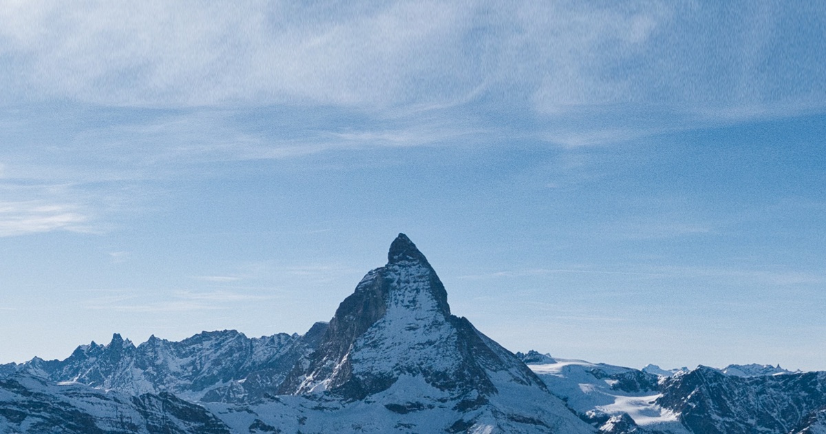
Its kind, height and distance, photos from Wikimedia Commons and its Wikipedia article. Navigate hands the place to your maps app for the walk there.
has no server of its own and receives nothing from you. The camera image is processed on the phone and never sent anywhere. Your position is used to fetch the map around you, and is not stored anywhere off your phone.
Read the privacy policyiPhone · iOS 16 or later
Android 7.1 or later · ARCore phones
Yes. Menu → Labels → Categories turns settlements, peaks, hills, valleys, passes, lakes, viewpoints and huts on or off, each on its own. The Distance slider sets how far labels reach, from 1 to 50 km.
Only to fetch an area the first time. Download areas ahead in Menu → Data sources → Offline areas: choose a place and a radius, and the places and terrain are stored on the phone.
aligns north from the compass and by matching the skyline to the terrain. If the compass needs it, a short guide asks you to move the phone in a figure 8. You can also tap Align, turn the phone until the labels sit on their places, and tap. Keep away from metal and magnets.
It may be hidden behind terrain, give way to a more important place nearby, be further than the Distance setting, belong to a category you switched off — or not be in OpenStreetMap yet.
An iPhone with iOS 16 or later, and Android 7.1 or later on phones that support ARCore. needs the camera, your location and the motion sensors.